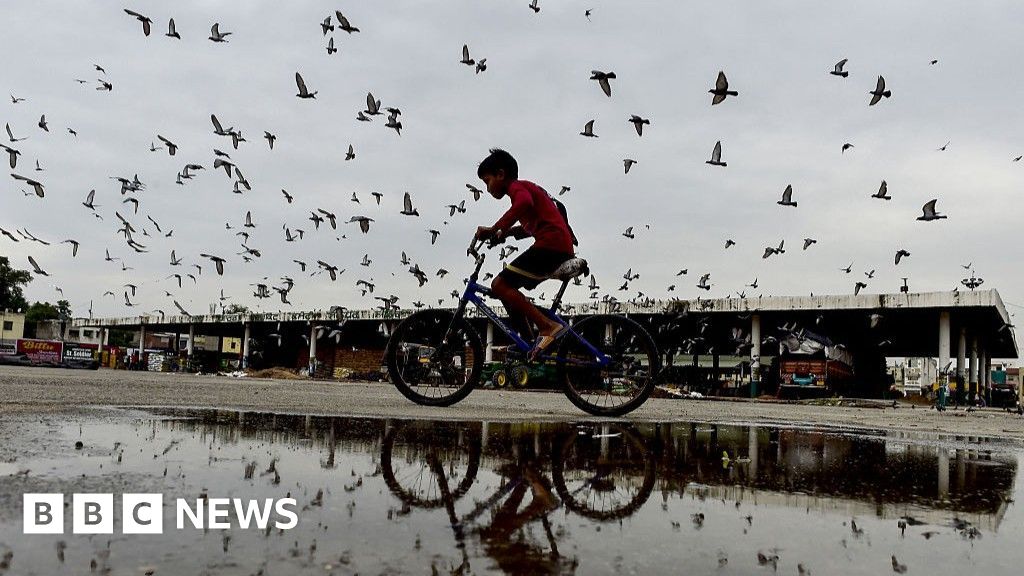
The SAWS has warned of disruptive rain in Cape Town, Cape Winelands, parts of Overberg, and the Western Cape’s Cederberg.
Gallo Images/Die Burger/Jaco Marais
The South African Weather Service (SAWS) has warned of heavy rainfall that could lead to localised flooding, cold, strong winds and damaging waves in the Western Cape and parts of the Northern Cape and Free State.
Impact-based warnings
- Yellow Level 4 warning: Damaging waves, resulting in damage to coastal infrastructure and disruption to beachfront activities, are expected along the coast between Alexander Bay and Cape Agulhas from Wednesday evening, spreading to Plettenberg Bay by Thursday.
- Yellow Level 2 warning: Damaging coastal winds, leading to difficulty in navigation at sea and localised disruption to small ports and coastal towns, are expected between Lambert’s Bay and Cape Agulhas on Wednesday and will spread to Plettenberg Bay by Thursday.
- Yellow Level 2 warning: Damaging interior winds, leading to localised problems for high-sided vehicles on prone routes and some transport services affected by wind, are expected over the western and northern parts of the Western Cape, Northern Cape, and the western parts of the North West and Free State.
Severe weather alerts for tomorrow, 25 June 2025. As well as the weather outlook for Thursday & Friday, 26 - 27 June 2025. Partly cloudy over the central & western parts with Isolated to scattered rain & showers, but widespread along the south coast. Otherwise, fine & cold. pic.twitter.com/UVNKFJ0JNV
— SA Weather Service (@SAWeatherServic) June 24, 2025- Yellow Level 2 warning: Disruptive rainfall leading to localised flooding of susceptible formal and informal settlements or roads, and low-lying areas over Cederberg, City of Cape Town, Cape Winelands, and the western parts of the Overberg district in the Western Cape.
In the SAWS’ colour-coded weather warning system, yellow indicates a moderate risk of impact that requires caution and awareness, while orange indicates a higher-risk impact that is expected and requires increased attention and preparation.
SAWS uses the numbers to indicate the likelihood of weather-based impacts occurring. Levels 2 and 6 are high, and Level 4 is low.
Advisories
An intense cold front will impact the Western Cape, Northern Cape, and Free State from Wednesday to Friday.
Expect very cold, windy conditions, heavy rainfall, and light snowfall on high ground.
Gauteng: Fine and cool weather.
Pretoria: 04°C — 20°C
Johannesburg: 04°C — 19°C
Vereeniging: 01°C — 20°C
Mpumalanga: Morning fog patches in Lowveld/north-western Highveld. Fine and cold to cool, warm in the Lowveld.
Mbombela: 08°C — 23°C
Ermelo: 02°C — 18°C
Emalahleni: 05°C — 18°C
Standerton: -2°C — 20°C
Skukuza: 03°C — 29°C
Limpopo: Morning fog patches over Lowveld/adjacent escarpment. Otherwise fine, cool to warm conditions.
Polokwane: 06°C — 21°C
Phalaborwa: 09°C — 26°C
Tzaneen: 05°C — 26°C
Musina: 09°C — 27°C
Lephalale: 07°C — 24°C
Mokopane: 06°C — 24°C
North West: Fine, windy, and cool conditions.
Klerksdorp: 04°C — 21°C
Potchefstroom: 03°C — 19°C
Mahikeng: 06°C — 21°C
Rustenburg: 07°C — 21°C
Vryburg: 05°C — 22°C
Free State: Fine, windy, and cool weather, but cold near the Lesotho border.
Bloemfontein: 03°C — 21°C
Welkom: 04°C — 21°C
Bethlehem: -1°C — 17°C
Northern Cape: Cloudy with scattered showers in the extreme west. Partly cloudy with cold to cool temperatures, but warm and fine in the north-west. Coastal winds will be strong to gale force northerly to north-westerly.
Upington: 10°C — 26°C
Kimberley: 06°C — 23°C
De Aar: 06°C — 21°C
Alexander Bay: 09°C — 21°C
Springbok: 07°C — 12°C
Calvinia: 01°C — 14°C
Sutherland: 01°C — 13°C
Western Cape: Fine weather in the eastern parts (cool to warm). Cloudy, windy, and cold with isolated to scattered showers. Widespread rain in the west. Coastal winds will be strong to gale force northerly to north-westerly, moderate to fresh along the south coast.
Cape Town: 12°C — 14°C
Vredendal: 09°C — 17°C
Riversdale: 07°C — 21°C
George: 09°C — 22°C
Worcester: 10°C — 16°C
Beaufort West: 12°C — 24°C
Oudtshoorn: 05°C — 24°C
Western half of the Eastern Cape: Fine, windy, and warm. Cool in the south-west corner, becoming partly cloudy. Coastal winds light to moderate north-westerly, turning south-westerly.
Eastern half of the Eastern Cape: Fine, windy, and cool to warm. Coastal winds light to moderate northerly, becoming south-westerly in the evening.
Gqeberha: 13°C — 27°C
Makhanda: 09°C — 28°C
Cradock: 04°C — 25°C
Graaff-Reinet: 05°C — 26°C
East London: 13°C — 30°C
Port St Johns: 11°C — 26°C
Mthatha: 05°C — 26°C
Komani: 02°C — 23°C
Qonce: 09°C — 28°C
KwaZulu-Natal: Fine and cool weather, warm in the east. Coastal winds will be light to moderate north-westerly (fresh in the north), shifting northerly/north-easterly by mid-morning.
Durban: 14°C — 25°C
Richard’s Bay: 15°C — 28°C
Pietermaritzburg: 06°C — 26°C
Ladysmith: 05°C — 23°C
*This weather report was written with the support of Toqan AI.