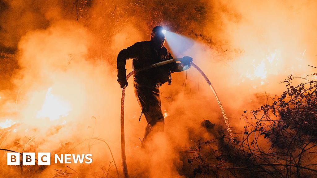
The South African Weather Service has warned of severe thunderstorms and widespread showers in Gauteng, Mpumalanga, Limpopo, and KwaZulu-Natal. (Christopher Furlong/Getty Images)
The South African Weather Service (SAWS) has warned of severe thunderstorms and widespread showers in Gauteng, Mpumalanga, Limpopo, and KwaZulu-Natal.
The Northern Cape and Western Cape will enjoy milder, partly cloudy weather.
Impact-based warnings
Orange Level 5 warning: Severe thunderstorms resulting in heavy downpours leading to flooding of roads and bridges, damage to infrastructure and agricultural activities are expected over the eastern parts of Free State, extreme east of the North West, southern parts of Gauteng and extreme southwestern parts of Mpumalanga.
Yellow Level 4 warning: Severe thunderstorms resulting in heavy downpours leading to localised flooding of roads and bridges, large amounts of small hail and excessive lightning are expected over the extreme south-central parts of Limpopo, northern parts of Gauteng and Mpumalanga highveld as well as over the northern and north-eastern parts of KwaZulu-Natal.
READ | Authorities on high alert amid severe weather warnings across SA
Yellow Level 2 warning: Severe thunderstorms leading to localised damage to settlements, localised flooding of susceptible roads, low-lying areas and bridges are expected over the central part of Free State, eastern parts of North West, southern parts of Limpopo and north-eastern parts of Mpumalanga, except in the north-eastern Lowveld.
Yellow Level 2 warning: Disruptive rain leading to localised flooding of settlements, roads and bridges is expected in places along the coast and adjacent interior of the eastern half of the Eastern Cape.
In the SAWS' colour-coded weather warning system, yellow indicates a moderate risk of impact that requires caution and awareness, while orange indicates that higher-risk impact is expected, requiring increased attention and preparation.
SAWS uses the numbers to indicate the likelihood of weather-based impacts occurring. Level 2 is high, Level 4 is low, and Level 5 is medium
WHAT IS AN IMPACT-BASED WEATHER WARNING?How often do you come across news reports suggesting that the South African Weather Service (SAWS) has issued an Impact-Based Weather Warning of a certain level and a particular colour-coding? What does it mean?Thread?? pic.twitter.com/Gs5mocCBwi
— SA Weather Service (@SAWeatherServic) April 15, 2025Advisories
Cold and wet conditions are expected over the central and western parts of KwaZulu-Natal until Thursday, but very cold over the southwestern high grounds where light snowfall is possible.
The weather in your province
Gauteng: Cloudy and cool with widespread showers and thundershowers.
Pretoria: 14°C — 18°C
Johannesburg: 12°C — 16°C
Vereeniging: 11°C — 18°C
Mpumalanga: Cloudy and cool to cold with scattered to widespread showers and thundershowers. In the Lowveld, isolated showers and warm temperatures are expected.
Mbombela: 17°C — 18°C
Ermelo: 12°C — 14°C
Emalahleni: 13°C — 15°C
Standerton: 12°C — 16°C
Skukuza: 20°C — 25°C
Limpopo: Cloudy and cool with isolated to scattered showers and thundershowers, but widespread in the south-west. It will remain warm in the Lowveld and Limpopo Valley.
Polokwane: 15°C — 19°C
Phalaborwa: 20°C — 26°C
Tzaneen: 17°C — 22°C
Musina: 21°C — 25°C
Lephalale: 18°C — 22°C
Mokopane: 16°C — 21°C
North West: Cloudy and cool with isolated to scattered showers and thundershowers, becoming widespread in the extreme eastern parts.
Klerksdorp: 12°C — 19°C
Potchefstroom: 12°C — 18°C
Mahikeng: 12°C — 21°C
Rustenburg: 15°C — 19°C
Vryburg: 11°C — 20°C
Free State: Cloudy and cool with isolated to scattered showers and thundershowers. The eastern half will experience widespread showers and cold temperatures along the Lesotho border.
Bloemfontein: 11°C — 18°C
Welkom: 12°C — 19°C
Bethlehem: 9°C — 15°C
Northern Cape: Morning and evening fog in some coastal areas. Conditions will be partly cloudy and cool, with isolated thundershowers in the eastern parts, but fine over the north-western areas.
The wind along the coast will shift from light and variable to moderate to fresh southerly to south-easterly in the afternoon.
Upington: 10°C — 21°C
Kimberley: 12°C — 19°C
De Aar: 10°C — 18°C
Alexander Bay: 13°C — 27°C
Springbok: 12°C — 24°C
Calvinia: 8°C — 21°C
Sutherland: 5°C — 18°C
Western Cape: Morning fog in places, with partly cloudy and cool conditions throughout. The western interior will remain warm.
Coastal winds will be light and variable in the morning and shift to light to moderate from the southeast, while the west coast might experience south-westerly winds in the afternoon.
Cape Town: 15°C — 24°C
Vredendal: 13°C — 28°C
Riversdale: 13°C — 23°C
George: 11°C — 19°C
Worcester: 11°C — 26°C
Beaufort West: 11°C — 19°C
Oudtshoorn: 9°C — 24°C
Eastern Cape: Cloudy and cool with isolated showers and rain. Scattered showers and thundershowers are likely in the eastern part. The eastern half will stay cloudy and cool to cold, with scattered showers and occasional rain. Widespread rain is expected along the coast.
Gqeberha: 16°C — 21°C
Makhanda: 13°C — 19°C
Cradock: 10°C — 18°C
Graaff-Reinet: 9°C — 18°C
East London: 17°C — 20°C
Port St Johns: 16°C — 21°C
Mthatha: 13°C — 19°C
Komani: 10°C — 17°C
Qonce: 14°C — 19°C
KwaZulu-Natal: Cloudy and cool to cold conditions prevail with widespread showers and thundershowers. Light snow may occur in the southwestern high ground.
Coastal winds will vary from light to moderate southerly to south-easterly towards the north, shifting to northerly to north-easterly south of Richards Bay, reaching fresh to strong locally.
Durban: 18°C — 22°C
Richards Bay: 18°C — 21°C
Pietermaritzburg: 13°C — 17°C
Ladysmith: 12°C — 17°C
*This weather report was written with the support of Toqan AI.